in the desert of Lop, on the levelled line
*
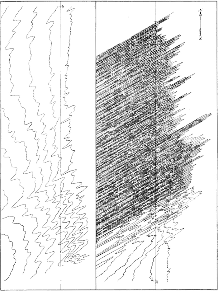
Plate 61. Hypsometrical curves in the desert of Lop. On the levelled line.
Scale 1 : 160,000.
(cropped from page, otherwise unmolested)
ex Sven Anders Hedin (1865-1952 *), et al. Scientific Results of a Journey in Central Asia, 1899-1902. Vol. 2. Lop-Nor. Lithographic institute of the General staff of the Swedish army. 1905.
University of Minnesota copy, digitized August 4, 2014.
And yet how inconceivably complicated are the contour-lines precisely along that line, as they are indeed for the matter of that in any of the other sand-free parts of the Lop Desert!
p 578
Discussion of Plate 61 at pp 580-581.
Hypsometric analysis (or area-altitude analysis) is the study of the distribution of horizontal cross-sectional area of a landmass with respect to elevation. Classically, hypsometric analysis has been used to differentiate between erosional landforms at different stages during their evolution.
Matthias Rainer Rosenau, Tectonics of the Southern Andean Intra-arc Zone (38° - 42°S), Dissertation, Freie Universität Berlin (2004),
(chapter 3), p 24
tags:
aeolian action; curves; deserts; hypsometric curves; lines
S. A. Hedin, Scientific Results of a Journey in Central Asia, 1899-1902 (1905); M. R. Rosenau (2004)