solely of the voids in the gravel bed, 2
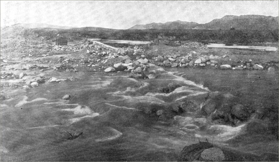
* Fig. 102.—View of flood passing over Pacoima Subterranean Dam
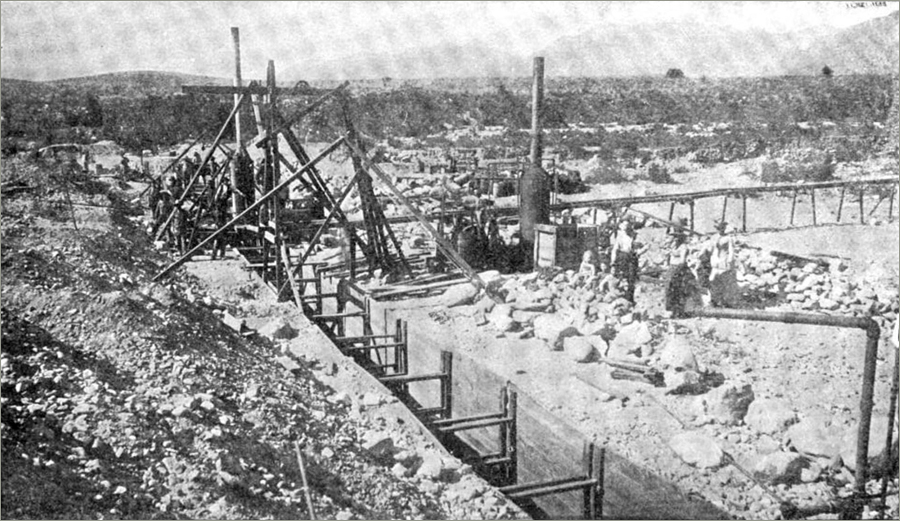
* Fig. 101.—Excavation of trench for Pacoima Subterranean Dam.
(images rotated, borders replaced)
illustrating James Dix Schuyler. Reservoirs for irrigation, water-power, and domestic water-supply: With an account of various types of dams and the methods and plans of their construction. &c. &c.
New York, 1901
NYPL copy, digitized April 12, 2011
—
“The mistake was made of not filling the entire width of the trench with concrete, thoroughly rammed between the side walls, which would probably have insured satisfactory water-tightness. As it was, the space each side of the wall was refilled with gravel, and the wall was not thick enough or sufficiently well pointed to be entirely water-tight. The general height of the wall is 40 feet, the maximum being 52 feet. Plan, profile, and section of the dam are shown in Fig. 103.”
p 205
—
Guess this is just north of Tujunga Wash, in the vicinity of Hansen Dam. Are those ladies, standing at right?
tags:
infrastructure; submerged dam; razor’s edge; Los Angeles; water
J. D. Schuyler