morainic islands
*
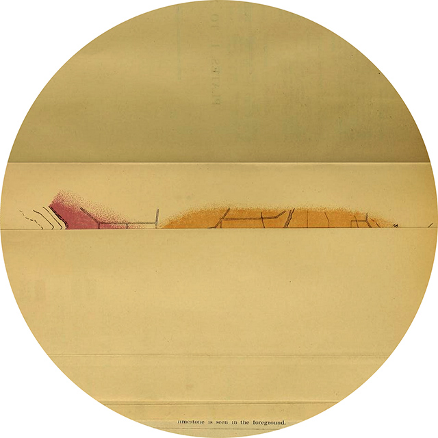
Plate I (unopened, showing elements from following pages; 90ºcw; detail; levels 0 .76 240)
Map of the district described in the paper, showing the morainic areas associated with Rosetta Head and King’s Point.
Surveyor General’s Office, Adelaide. A. Vaughan, Photo-Lithographer
illustrating Walter Howchin (1845-1937 * †). “The Glacial (Permo-Carboniferous) Moraines of Rosetta Head and King’s Point, South Australia.” [Read April 5, 1910.] Transactions and Proceedings and Report of the Royal Society of South Australia 34 (December 1910) : 1-12
Smithsonian copy, no date of digitization
“Here are the remnants of an extensive if vanished highlands which in the past had its snow-covered peaks and outspreading rivers of ice” p 1
tags:
distances; eccentrics; horizon; islands; moraine; Oz; rounds
H. Howchin